
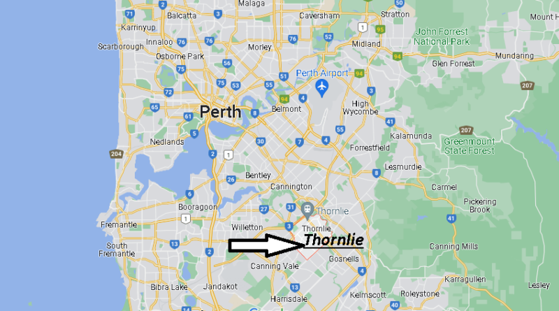
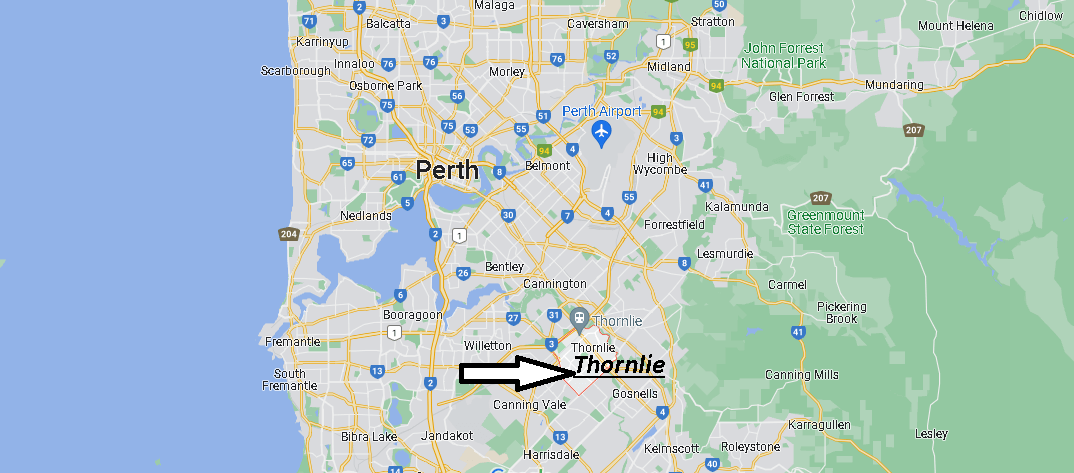
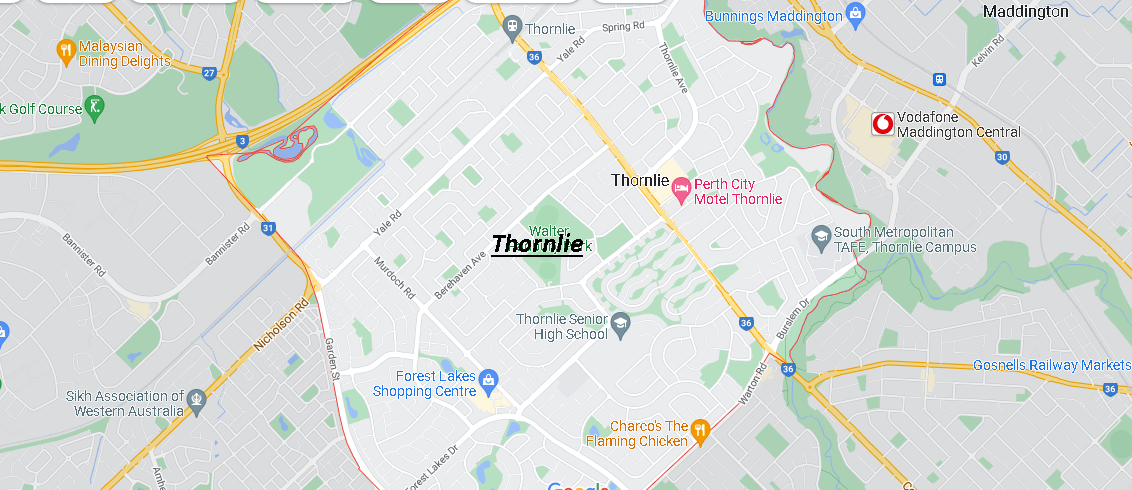
Where is Thornlie Australia? Map of Thornlie
Thornlie is a large outer suburb of Perth, located 18 kilometers southeast of the city’s central business district. It is part of the Gosnells City local government area. The Canning River runs through the northern side of the suburb. Since the 1950s, the suburb has been developed in approximately five stages; north-east Thornlie (1950-60), south Thornlie (1970-80), Crestwood (1970s), Castle Glen (1980s) and Forest Lakes (1980s-present).
Is Thornlie north or south of Perth?
Is Thornlie dodgy?
Is Thornlie a good suburb?
What is the postcode for Thornlie?