
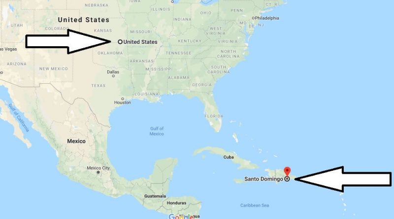
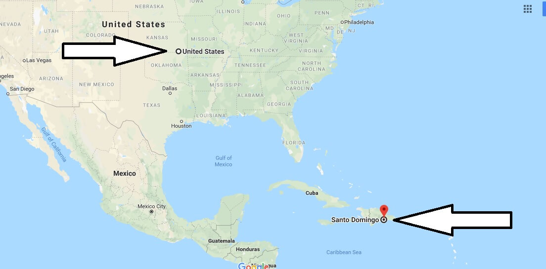
Where is Santo Domingo? What Country is Santo Domingo in? Santo Domingo Map
Where is Santo Domingo? What Country is Santo Domingo in? Santo Domingo Map – Santo Domingo is the capital of the Dominican Republic and also the largest city. Santo Domingo was founded in 1496 on the east bank of the Ozama River. It was then moved to the west side of the river.
Where is Santo Domingo?
Santo Domingo is the first Spanish colony in the new world, the first university, the first Cathedral, the first Castle and the first monastery. Santo Domingo is the cultural, financial, political, commercial and industrial center of the country.
Quick facts
| Country | The Dominican Republic |
| State | Nacional |
| Population | 2,201,941 |
| Elevation | 55 m over sea level |
| Time Zone | AST |
| Longitude | -69.988570 |
| Latitude | 18.500120 |
| Airport | Las Américas International Airport |
The coldest months throughout the city are between December and March. The hottest periods are between July and September. There is an international airport in Santo Domingo. There are flights from America to Santo Domingo.
Main places to visit in Santo Domingo. The “Zona Colonial zone”, which is left from the colonial period called Zona colonial, is the “Royal House Museum”, “Jardin Botanico Nacional” and “National Library”, which are also included in the UNESCO World Heritage List. Santo Domingo has a tropical climate.
Map of Santo Domingo
Picture of Santo Domingo
 
Where is the Dominican Republic located in the world?
What country does the Dominican Republic belong to?
Do you need a passport to go to Santo Domingo?
Is it safe to go to the Dominican Republic?
Where is Dominican Republic close to?