
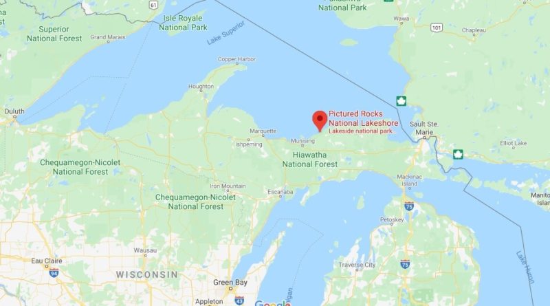
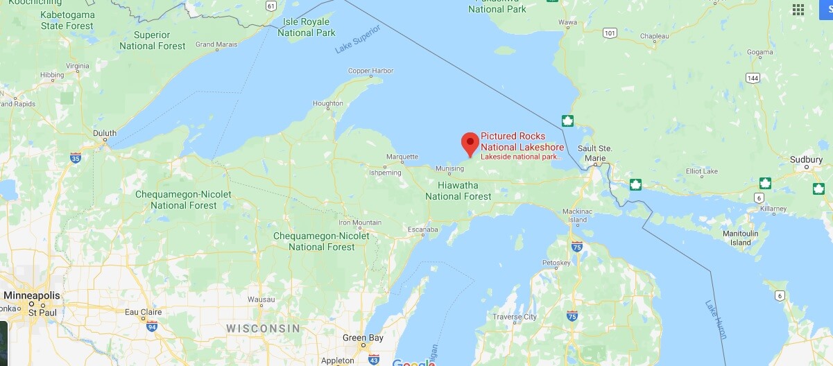
Where is Pictured Rocks National Lakeshore? What city is pictured rocks in?
Where is Pictured Rocks National Lakeshore?
Address: Munising, MI 49862
Established: October 15, 1966
Management: National Park Service
Visitors: 476,888 (in 2005)
Area: 73,236 acres (296.38 km2)
Designated: February 17, 1965
Michigan’s Pictured Rocks National Lakeshore features stunning sandstone cliffs, numerous hiking trails, and excellent canoeing and kayaking opportunities. Located on the shores of Lake Superior – the largest, deepest, and most pristine of the Great Lakes – the 60-Kilometer protected area offers countless opportunities for hiking, camping, boating, and other Outdoor activities.
Can you see pictured rocks from shore?
How do you visit Pictured Rocks National Lakeshore?
When should I visit the Pictured Rocks?
Where do you stay when you go to Pictured Rocks?
How much does it cost to get into Tahquamenon Falls?
Can you kayak Pictured Rocks on your own?
What can you do at Tahquamenon Falls?
What is there to do in Sleeping Bear Dunes?