
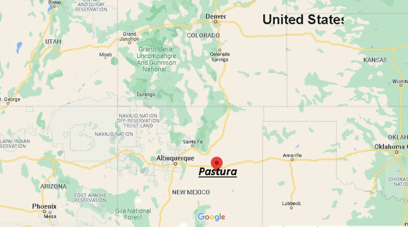
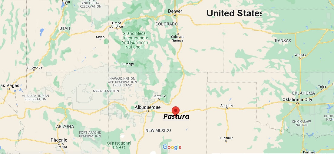
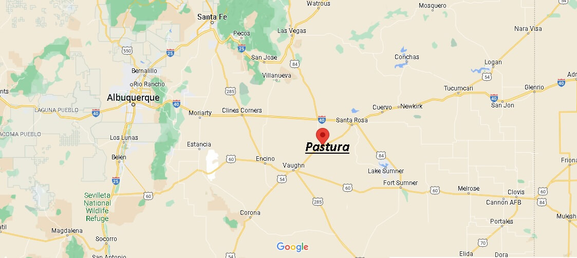
Where is Pastura New Mexico? Map of Pastura
Pastura is a census-designated place (CDP) in Guadalupe County, New Mexico, United States. The population was 23 at the 2010 census. It is located halfway between Santa Rosa and Vaughn.
According to the United States Census Bureau, the CDP has a total area of 0.9 km2, of which 0.9 km2 of it is land and 0 km2 of it is inland waters (0% of the total).