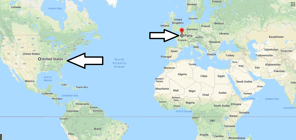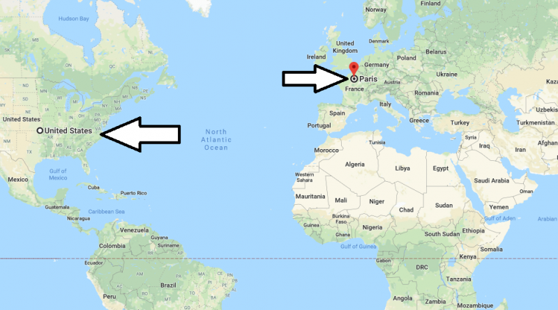
Where is Paris, France? / Paris, Ile-de-France Map
Where is Paris, France? / Paris, Ile-de-France Map – Paris is capital city of France and also center of Ile-de-France region. It is established middle of paris basin on the Sen river. It is location 375 km inside from mouth of Sen river that Sen river poured to Manş sea (English Channel).
Where is Paris
Paris is that both capital city of France and center of culturel, shopping and attraction, number of cities most visited tourist in around world. Of course people wondering about Paris because of, city has both most visited and full of art and romantic envoriment.
While this is the case, Many people ask me ‘Where is Paris’ , ‘How to get to Paris’ , ‘What is the location of France?’ , ‘Which country Paris is located?’ , ‘Why is Paris known as the City of Lights?’ and ‘Where is the Eiffel Tower in Paris France?’ So, We answered all you questions and prepared this page.
Paris city location from London (287 km), Brussels (305), Amsterdam (515). You can easly go to this cities by car or train. Population of Paris (You think only center) is approximately 2 million and but this rate, with tourist coming increases in summer months. (English and American citizens that are they most visitors to Paris)
Quick facts
| Country | France |
| Metropolitan region | Ile-de-France |
| Population | 2,138,551 |
| Elevation | 42 m over sea level |
| Time Zone | CEST |
| Longitude | 2.348800 |
| Latitude | 48.853410 |
| Airports | Châlons Vatry Airport, Paris Orly Airport, Paris Charles de Gaulle Airport, Paris–Le Bourget Airport, Beauvais–Tillé Airport |
Map of Paris
Pictures of Paris