
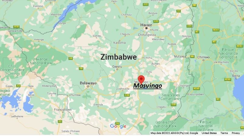
Where is Masvingo, Zimbabwe? Map of Masvingo
Which region is Masvingo?
Masvingo is a province in southeastern Zimbabwe, bordered by Mozambique to the east, South Matabeleland to the south, Midlands to the north and west, and Manicaland to the northeast.
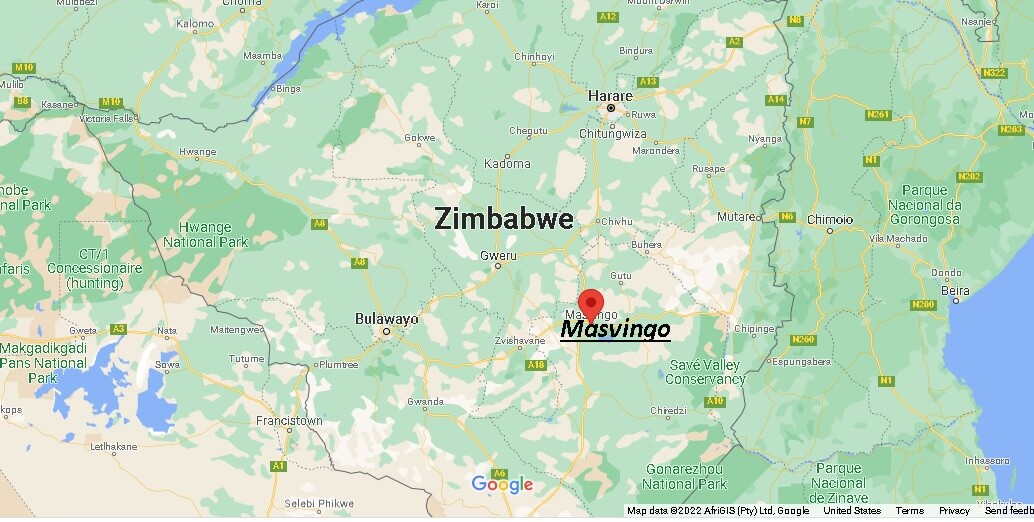
Masvingo was known as the Province of Victoria until 1980. It has an area of 56,566 km2 and a population of approximately 1.3 million in 2002. Its capital is the city of Masvingo.
What is the old name for Masvingo?
How big is Masvingo province?
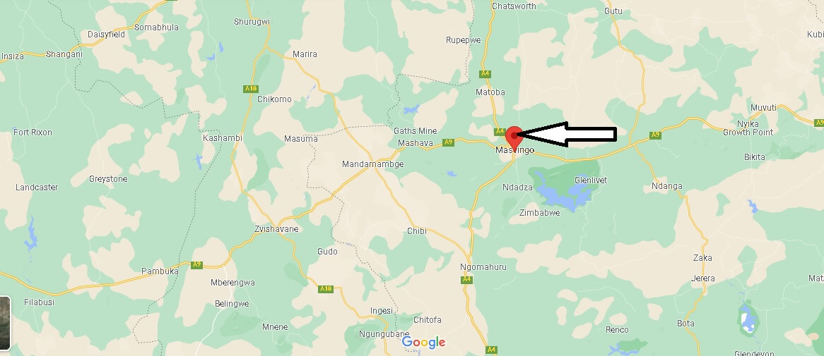
What is the biggest district in Masvingo?