
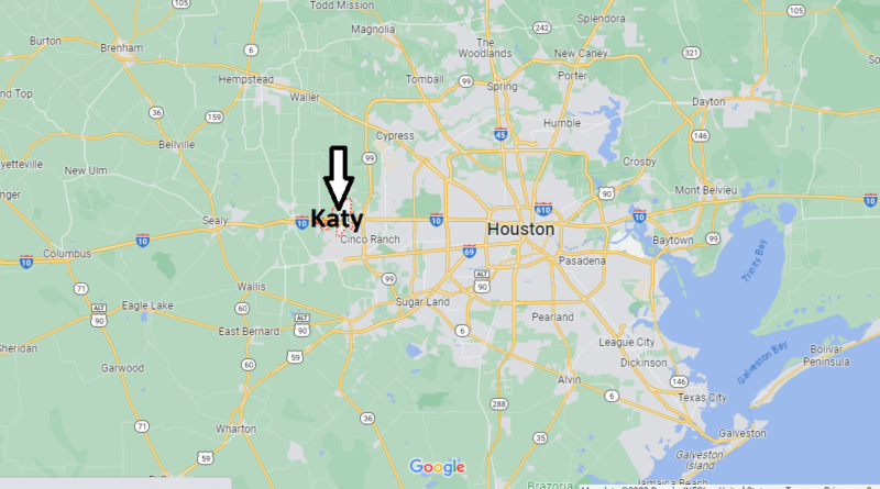
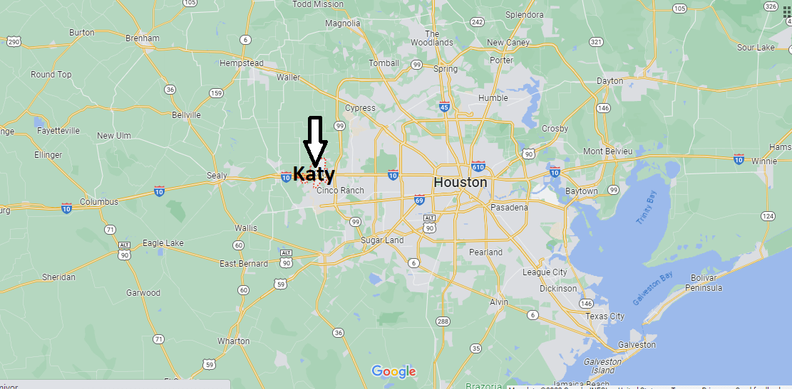
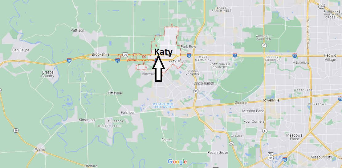
Where is Katy Texas? Katy Map
The city of Katy, in Texas, is a small city, just 30 minutes from Houston, but it has an abundance of museums, parks and shopping areas. Katy was a railway town at the end of the 19th century. The Missouri-Kansas-Texas (MKT) railroad line passed through Katy, connecting to Houston, so much of the city’s character centers on the historic influence of the railroad on its economy and its people. There are many attractions and things to do in Katy, especially for families.
The other remarkable element of Katy are the old rice silos that are located next to the train tracks. Katy had a significant rice industry due to its location on the Buffalo Bayou floodplain, which made the tributaries near the city fertile ground for crops.
Many of Katy’s tourist attractions are close to each other, so you can park your car and walk through several of them in a single day. Mary Jo Peckham Park and the Central Green are large urban green spaces with walking trails and resident ducks that will welcome your visit.
Although Katy has a plethora of things to do that reflect the heritage of Texas, the city is also known for its abundance of shops for shopping. The Katy Mills Outlet Mall and the LaCenterra outdoor shopping complex are the two most popular areas, but there are many antique shops in the city with unique vintage treasures to see, even if you’re just window shopping.
What major city is Katy Texas close to?
Is Katy Texas a suburb of Houston?
Is Katy a different city than Houston?
Is Katy Texas a big city?