
Where is Ivory Coast? Located on the Map
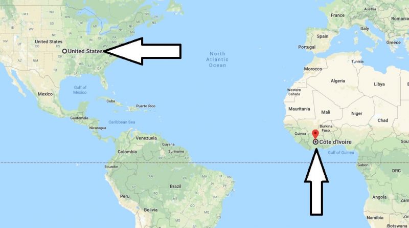
Where is Ivory Coast? Located on the Map – Ivory Coast is a country. It is located on the North Atlantic Ocean in West Africa. In the west of the Ivory Coast country is Guinea and Liberia, in the East is Ghana, in the North is Mali and Burkina Faso. The Ivory Coast, consisting of 50 parts, is managed by the presidential republic system. Where is Cote D’Ivoire? / Where is Cote D’Ivoire Located in The World? / Cote D’Ivoire Map
Where is Ivory Coast?
The capital of the Ivory Coast country is the city of Yamoussoukro. The country has a population of 23 million 202 thousand people. The official language of the Ivory Coast country is French. There are 60 different local languages and dialects spoken in the country besides French. The most widely spoken language in the country is Dioula.
On the Ivory Coast, 34 percent of the population is Christian, 27 percent are Muslim, 21 percent are atheists, 15 percent are animalistic, and 3 percent believe in local religions. On the Ivory Coast, which has a tropical climate, the summer months are very hot and humid. Therefore, the best date to visit the country is between November and may. There is a direct flight from many countries of the world to the Ivory Coast.
Grand-Bassam National Costume Museum : Grand-Bassam national costume museum, located in the Grand bassam region of Ivory Coast, was opened during the visit of 1980. Museum building for many years Colonial country was used as the Governor’s building of the French. Later, the Ivory Coast, which gained its independence, opened it as a museum. This museum is on display in national costumes of the country. It has been opened in service to protect these costumes and to be transferred to future generations. In addition, many documents and photographs are exhibited.
Ivory Coast Museum of Civilizations : The Museum of Civilizations is a Public Museum and was opened by the state in 1942. Ethnographic, archaeological and iconographic works are exhibited in the museum. You must visit this museum to learn the history and culture of the country.
Basilica of Notre-Dame de la Paix : The Basilica of Notre-Dame de la Paix, located in Yamoussoukro, the capital of Ivory Coast, is a Roman Catholic Church and was opened in 1990. The height of the dome is 158 meters and the length is 195 meters. This church is blessed by Pope Benedict XII. By Jean Paul and capacity of 18 thousand people. It is one of the most important tourist structures in the country.
Ehotile Islands National Park : Located close to the D’assinie and d’adiake residential areas of the Ivory Coast. This park was built in 105 square kilometers area and in 1974. There are many species of animals and plants in the park. There are many village settlements in the area where this park is located.
Map of Ivory Coast
Picture of Ivory Coast
Where is the Ivory Coast located at?
Is Ivory Coast developed?
How many languages are spoken in Ivory Coast?
What is the main religion in the Ivory Coast?
Is Cote d Ivoire a poor country?
What is the currency of the Ivory Coast?
Also, You can read this article: Fildişi Sahili’nde Gezilecek 10 Yer