
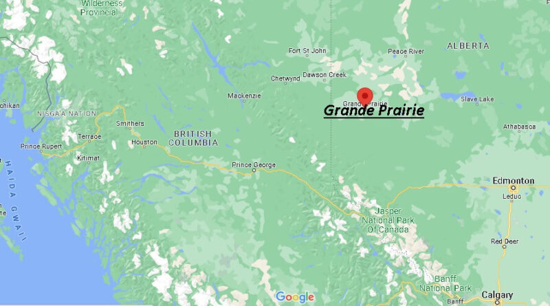
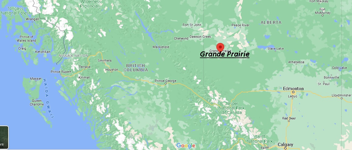
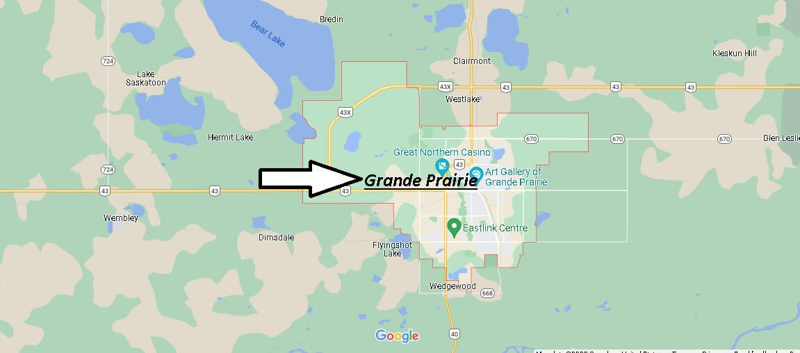
Where is Grande Prairie Canada? Map of Grande Prairie
Where in Canada is Grand Prairie?
Grande Prairie is a city in northwestern Alberta, Canada, in the southern part of an area known as Peace River Country. It is located at the intersection of Highway 43 (part of the CANAMEX Corridor) and Highway 40 (the Bighorn Highway), approximately 456 km (283 mi) northwest of Edmonton. The city is surrounded by Grande Prairie County No. 1.
Grande Prairie was the seventh largest city in Alberta in 2016 with a population of 63,166 and was one of the fastest growing cities in Canada between 2001 and 2006..
The city adopted the trumpeter swan as an official symbol due to its proximity to the migration route and summer nesting sites of this bird. For that reason, Grande Prairie is sometimes nicknamed the “Swan City”. The dinosaur has become an unofficial symbol of the city due to paleontology discoveries in the areas north and west of the Grande Prairie.
Is Grand Prairie in BC or Alberta?
Is Grande Prairie a nice place to live?
What province is Grand Prairie?