
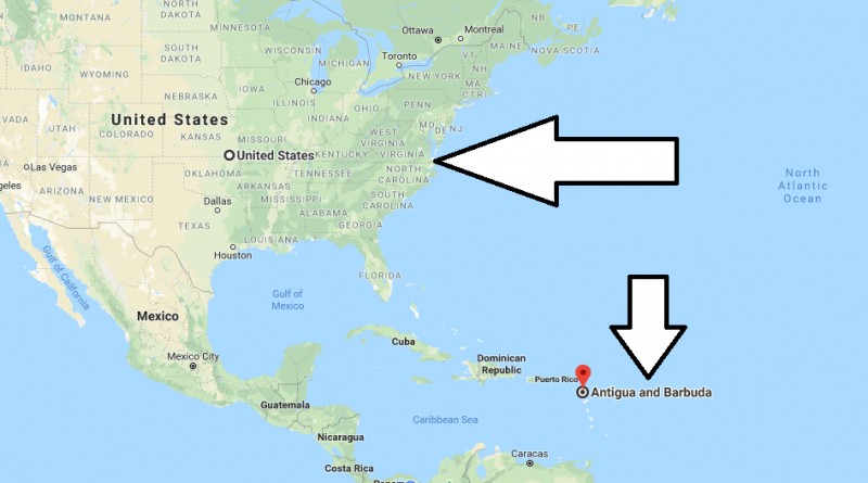
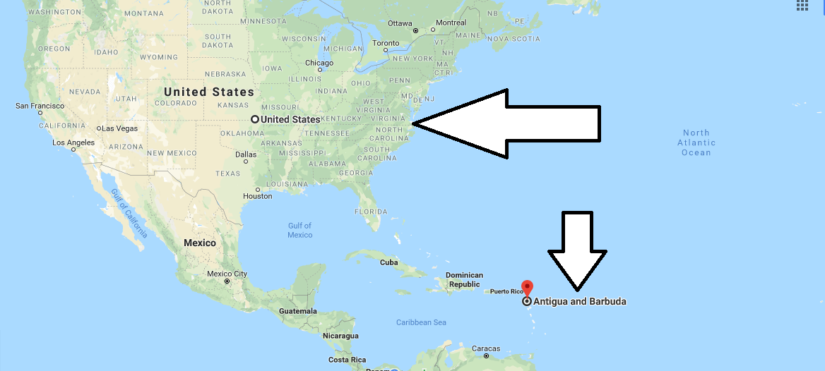
Where is Antigua And Barbuda?
Where is Antigua And Barbuda? – Antigua is the eponymous island, which is part of the state of Antigua and Barbuda along with two more major islands – Barbuda and Redonda.
Where is Antigua
The former English colony, today this state with inexhaustible tourist potential. The islands on which the state is located are surrounded by the Caribbean Sea and have the amazing natural beauty of bays, beaches, mountains and coral reefs.
Antigua is the main tourist center of the country, where there are more than 300 beaches (one for every day of the year). In addition, the tourist infrastructure is well developed, hotels are built for every taste and purse, casinos, nightclubs and restaurants and many other entertainment complexes.
Quick facts
| Population | 89,018 |
| Density | 200.9 / km2 ( 520.4 / mi2 ) |
| Language | English |
| Independence Year | 1981 |
| Capital | Saint John’s (Saint John) |
| Currency | East Caribbean Dollar |
| GDP | 1,269,117,037 (2014 data) |
| GDP per Capita | 14,257 (2014 data) |
| Land Area | 443 km2 (171 mi2) |
| Minimum Longitude | -61.910 |
| Maximum Longitude | -61.670 |
| Mininum Latitude | 17.000 |
| Maximum Latitude | 17.730 |
Map of Antigua And Barbuda
Pictures of Antigua And Barbuda
What is the best time to go to Antigua?
What country is Antigua a part of?
Is Antigua a United States territory?
Is the U silent in Antigua?