
Where does Interstate 10 start and end?
Where does Interstate 10
States Alabama, Arizona, Florida, California, Louisiana, Mississippi, New Mexico, Texas
Cities in Alabama: Mobile
in Arizona: Casa Grande, Phoenix, Tucson
in Florida: Jacksonville, Lake City, Pensacola, Tallahassee
in California: Los Angeles, Palm Springs, San Bernardino
in Louisiana: Baton Rouge, Lafayette, Lake Charles, New Orleans
in Mississippi: Biloxi
in New Mexico: Las Cruces
in Texas: Beaumont, El Paso, Houston, San Antonio
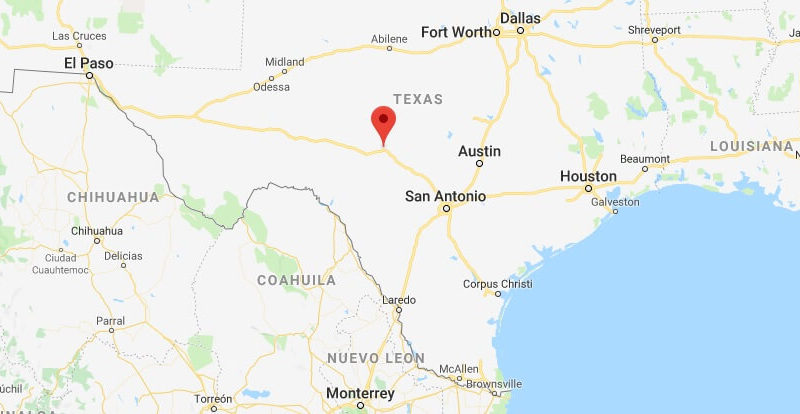
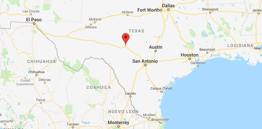
Brief description Interstate 10 is the US’s most common Transcontinent connection. The road begins in the north of Florida on the Atlantic Ocean and crosses the peninsula. At the end of the day, you will pass the Florida Panhandle, Alabama and Mississippi to New Orleans in Louisiana along the golfchs. The road continues along the course of golf until Houston in Texas. From here, the route crosses the state of Texas and reached the Mexican border at El Paso. The route runs from the border to Casa Grande in Arizona. Here, the route turns north to arrive at Phoenix again in a western direction through the W seh Ste to Los Angeles on the Pacific Ocean.
Length 2,467 Miles
No duty to pay fees

Where does Interstate 70 start and end?
Which interstate is the longest?
What is the length of Interstate 10?
When was the Interstate 10 built?
Where does i40 start and end?
Where does i80 Start End?
How long is Interstate 70?
Which state has the most interstate miles?
When did Interstate 70 open?