
Serbia Map and Map of Serbia, Serbia on Map
Serbia Map
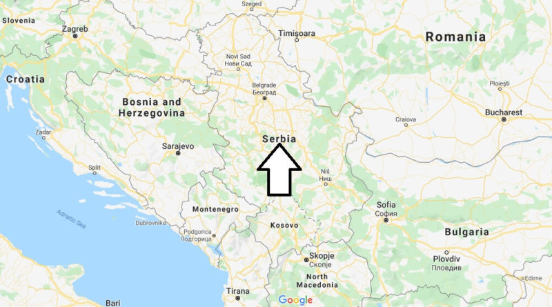
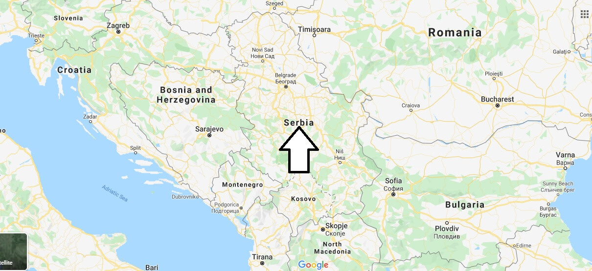
Serbia or Republic of Serbia. It is a country located in the Balkans and a historical and geographical region of South-Eastern Europe; it is currently one of the six states resulting from the dismemberment of the former Yugoslavia.
It borders Hungary, Romania, Bulgaria, Macedonia, Albania, Montenegro (with which until 2006 it formed a Confederate state), Bosnia-Herzegovina and Croatia.
Its territory extends across rich and fertile plains of the northern region of Vojvodina, limestone areas and basins in the East, and in the Southeast ancient mountains and hills; the Danube River dominates the North. Serbia, and in particular the Morava Valley, are often described as” the crossing between East and West”, which is one of the primary reasons for its turbulent history.
The valley is by far the easiest Land way between continental Europe and Greece and Asia Minor, because it is not a mountainous region. Serbia is a member of the United Nations, the Organization for security and cooperation in Europe and the Council of Europe, whose presidency it held in 2007. It is one of the potential candidates for the future membership of the European Union and a militarily neutral country.
Where is the Serbia located?


Is Serbia a country?
Is Serbia a part of Russia?
What countries surround Serbia?
Is Serbia a 3rd world country?
What race is Serbian?
Do you need a visa to travel to Serbia?
What do Serbians speak?
Is Serbia a free country?