
Mali Map and Map of Mali, Mali on Map
Mali Map
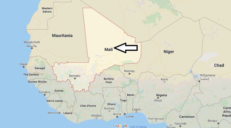
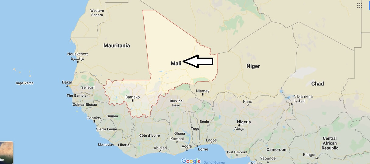
Mali, officially known as the Republic Of Mali, is the seventh largest country in Africa. It is bordered to the north by Algeria, to the East by Niger, to the West by Mauritania and Senegal and to the South by Côte d’ivoire, Guinea and Burkina Faso. With a total area of 1 240 000 km2 and an estimated population of around 12 000 000 inhabitants. Its capital is Bamako. It is considered one of the poorest countries in the world.


What is Mali famous for?
What nationality is Mali?
Is Mali dangerous?
What is the climate of Mali?
What is the culture in Mali?
Who colonized Mali?
Is Mali rich or poor?