
Yemen Map and Map of Yemen, Yemen on Map
Yemen Map
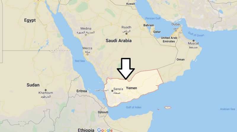
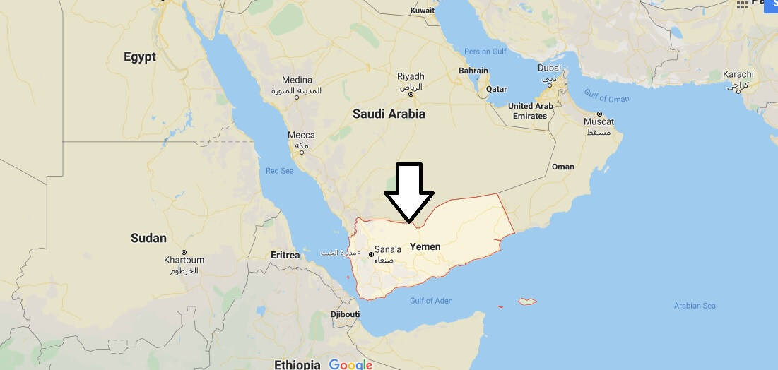
Yemen, officially Republic of Yemen. A country situated on the south-western coast of the Arabian Peninsula, which was formed in 1990 following the unification of the Democratic People’s Republic of Yemen and the Arab Republic of Yemen. It is bordered to the north by Saudi Arabia, to the East by Oman, to the South by the Gulf of Aden and to the West by the Red Sea.
From the January 27, 2011 thousands of protesters took to the streets to demand the resignation of president Ali Abdullah Saleh. Protesters call for stability and the fight against chaos. The protests have been ongoing since 12 February.
Yemen is the poorest country in the Arab world.[1] Moreover, the Saleh regime is exposed to the continued actions of Al Qaeda, which has bases in this country, to an attempt at secession from the south and to a Shiite rebellion in the north of the country that acts sporadically.


Where is the Yemen located?
Where is Yemen on a world map?
What are the neighboring countries of Yemen?
What is Yemen known for?
What race is Yemen?
What is the problem in Yemen?
Does Yemen have oil?
Is there a desert in Yemen?
Is Yemen a poor country?