
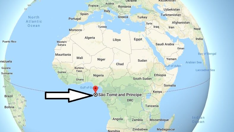
Where is Sao Tome? What Country is Sao Tome in? Sao Tome Map
Sao Tome is the capital of Sao Tome And Principe. At the same time, Sao Tome is the largest city in the country. Located on the island of Sao Tome, the city is the largest and most important city in the country.
Where is Sao Tome?
These are the places to visit in Sao Tome. Cascada Sao Nicolau waterfall, the most important tourist destination in the city, Obo National Park with bird watching tours and various water sports, Boca do Inferno blowhole caves, presidential palace, City Market, Claudio Corallo Chocolate Factory, National Cathedral and Sao Sebastiao Castle.
Sao Tome has tropical climate. The best time to visit the city is between June and September. Transportation from the USA to Sao Tome is provided either directly or via Lisbon.
Quick facts
| Population | 183,176 |
| Density | 190.0 / km2 ( 492.1 / mi2 ) |
| Language | Portuguese |
| Independence Year | 1975 |
| Capital | Sao Tome (Sao Tome Island) |
| Currency | Dobra |
| GDP | 334,902,362 (2014 data) |
| GDP per Capita | 1,828 (2014 data) |
| Land Area | 964 km2 (372 mi2) |
| Minimum Longitude | 6.460 |
| Maximum Longitude | 7.460 |
| Mininum Latitude | -0.010 |
| Maximum Latitude | 1.700 |
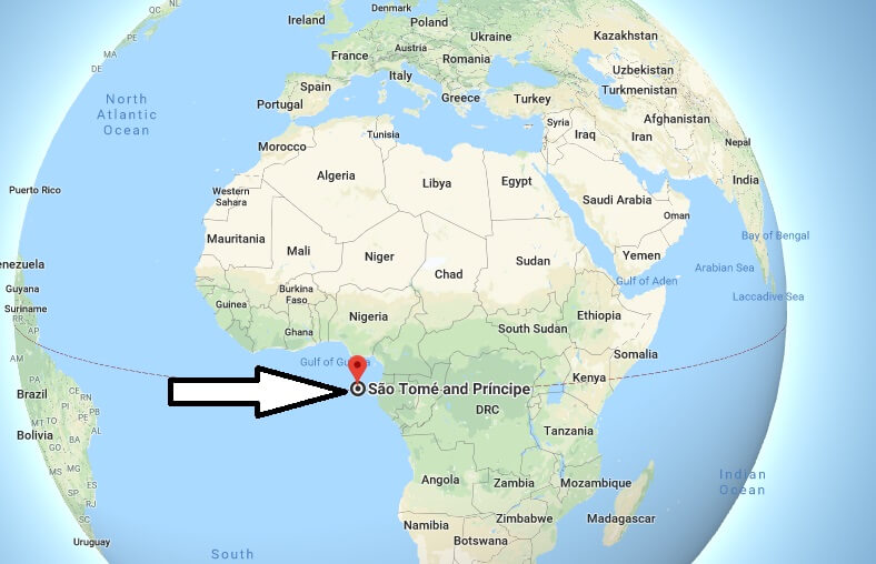
Where is Sao Tome located?
Which country is Sao Tome?
Is Sao Tome safe?
What does Sao Tome mean?
Who colonized Sao Tome and Principe?
What is the capital city of Sao Tome and Principe?