Where is Rostov-na-Donu Located? What Country is Rostov-na-Donu in? Rostov-na-Donu Map
Where is Rostov-na-Donu Located?
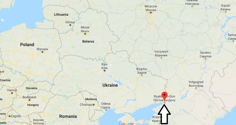
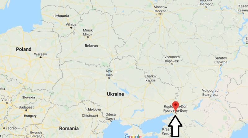
Rostov-on-Don (Rost, Rostov-na-Donu) is one of the largest cities in the European part of the Russian Federation. It is located in the south of the country, 46 kilometers before the mouth of the Don River into the sea of Azov. It is also the capital of the Rostov region and is known as the” gateway to the Caucasus”.
What Country is Rostov-na-Donu in?
The city is the tenth largest city in Russia with 1,115,000 inhabitants (2015). Almost 2.16 million people live in the Rostov Agglomeration. Rostov-on-Don is located 1100 kilometers south of Moscow. It forms the political, cultural and economic center of southern Russia.
The city is located in the southeast of the Eastern European Plain, most districts are located on the Right Bank of the Don, 46 km before its confluence with the sea of Azov. The southwestern districts are bordered by the Delta of the River Don. The geographical location of the city near the black, Azov and Caspian seas and the canals connecting Rostov with the Baltic Sea and the White Sea have earned it the nickname “City of the five seas”.
Rostov-na-Donu Map