
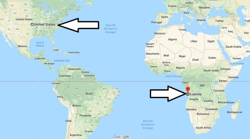
Where is Luanda? What Country is Luanda in? Luanda Map
Where is Luanda? What Country is Luanda in? Luanda Map – Luanda Angola is the capital of the country. Luanda is largest and most populous city in Angola, So is also the number one port city of the country, the most important industrial and cultural center.
Where is Luanda?
Luanda is situated on the shores of the Atlantic Ocean. Luanda is the third most populous Portuguese-speaking city in the world. The city of Luanda has a population of 2 million people. The city of Luanda is distinguished by its natural beauty and Historic Places.
Quick facts
| Country | Angola |
| District | Luanda |
| Population | 2,776,168 |
| Elevation | 73 m over sea level |
| Time Zone | WAT |
| Longitude | 13.234320 |
| Latitude | -8.836820 |
The main sights to visit in Luanda are the Museu de Antropoliga with the Anthropology Museum, the “Banco Nacional de Angola” with the remarkable dome and a pink building, the “Palacio de Ferro”, which was built in 1890 by the architect of the Eiffel Tower.
Lastly, Luanda is hot and has a semi-dry climate. The best time to visit the city is spring months. There is an international airport in Luanda. There are flights departing from Istanbul to Luanda from Turkey and America.
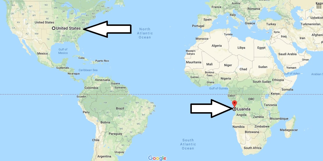
Map of Luanda
Picture of Luanda
Is Luanda a safe city?
Where is Angola’s location?
Is Luanda the most expensive city?