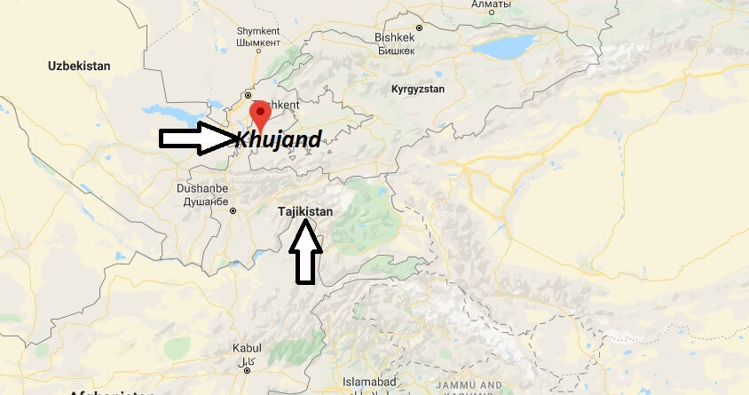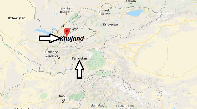
Where is Khujand Located? What Country is Khujand in? Khujand Map
Where is Khujand Located?
Travel to the second largest city of Tajikistan and the capital of the northern province of Sughd. Until 1939 the city was called Chuchend, then 1939-91 this area, the capital of Leninabad was called.
The modern city of Khujand is situated at an altitude of 340 metres, directly at the entrance to the Ferghana basin, on the banks of the Syr Darya, in the extreme North of the country and forms the Western gateway to the Fergana valley. This region, divided between Tajikistan, Uzbekistan and Kyrgyzstan, is geographically and historically more united than the Tajik part with the Rest of the country south of the Turkestan chain.
What Country is Khujand in?
The foundation of the city dates back to 329 BC in the time of Alexander the great. At that time it was called Alexandria Eschatê (“the farthest Alexandria”). Alexandria Eschatê was supposed to be the older city of Kyreschata. It was built on the South Bank of the Syr Darya River and near present-day Khujand. The goal of Alexander the Great, was to build a city on the banks of the river, which should form the border between Sogdia and the hunger steppe, and where the nomadic tribes of the “Sacae” should settle.
Khujand Map