
Where is Joplin Missouri (MO) Located Map? What County is Joplin?
Location: Missouri (MO), Jasper County
Zip code: 64804
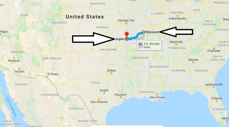
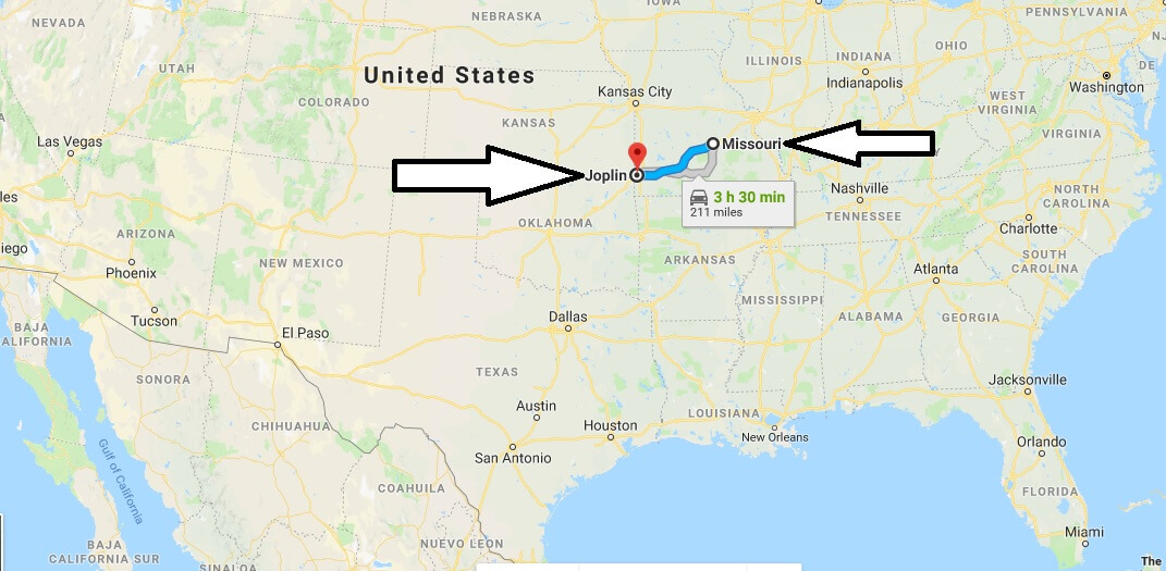
Where is Joplin?
Joplin is located in the southwestern part of the state. The city is the largest in the county, its population is more than 50 thousand people. The history of the formation and development of the city began with the mining of lead and zinc. But already in the 20th century, the former mining town began to acquire cultural infrastructure.
Quick facts
| Country | The United States Of America |
| State | Missouri |
| Population | 50,150 |
| Elevation | 308 m over sea level |
| Time Zone | CDT |
| Longitude | -94.513280 |
| Latitude | 37.084230 |
| Airport | Joplin Regional Airport |
Is Joplin in Tornado Alley?
What is Joplin known for?
Who died in the Joplin tornado?
How long was the Joplin tornado on the ground?
Does Kansas City get tornadoes?
How many tornadoes have hit Joplin Mo?