
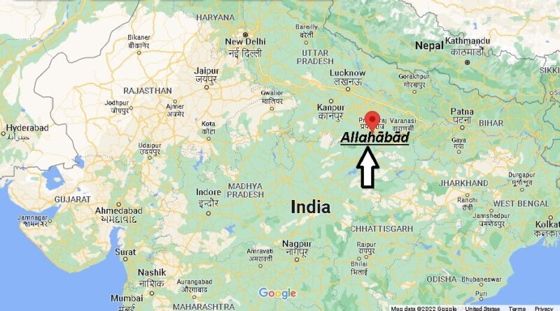
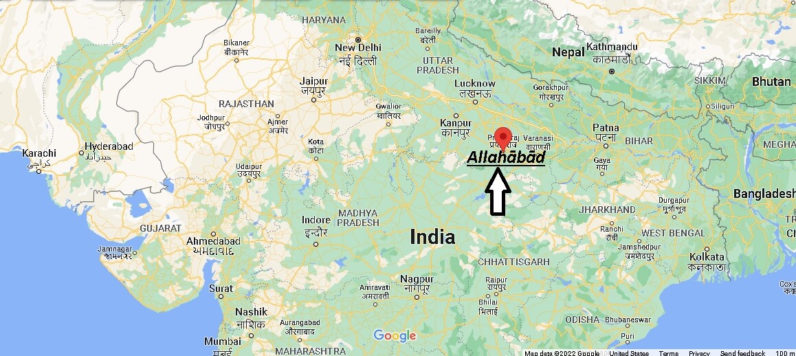
Where is Allahābād India? Map of Allahābād
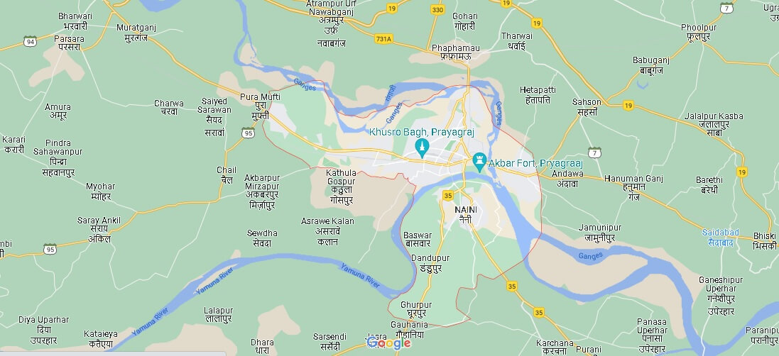
Praiagrash (which was called Allahabad between 1583 and 2018) is a city located at the confluence of the Ganges and Yamuna rivers, in the south of the state of Uttar Pradesh (in northern India). The population was 1,212,395 at the 2011 census.
How is Allahabad a famous city?
In which state Allahabad is there?
Why is Prayagraj famous?
Why Allahabad is called Prayag?