
Where is Alaska Located? What Country is Alaska in?
Where is Alaska Located?
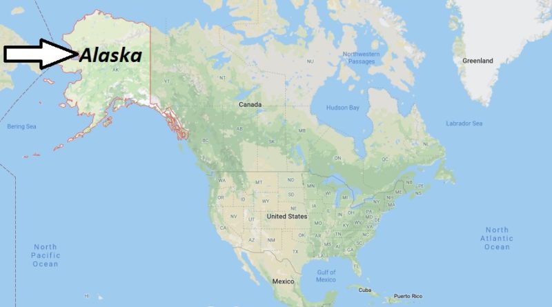
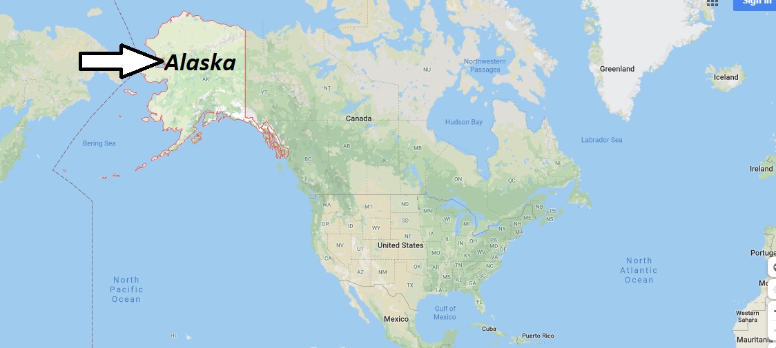
Alaska, with 1,717,854 km2 (1,481,346 km2 of landmass), is the largest US state by area and separated from the Rest of the US mainland by Canada.
What Country is Alaska in?
When you hear Alaska, you think of “pure nature”, of bears, wolves and other animals as well as of wild rivers for fishing and canoeing, of dog sleds and huge forests. But also of past gold-mining times.
And whoever thinks like that is damn right!
With an area of 1,717,854 km2 – with a population of slightly less than 700,000-Alaska is the largest state in the USA by area. It is geographically separated from the rest of the US states in the far northwest of North America.
Alaska Map
Where exactly is Alaska located?
Is Alaska part of USA or Canada?
Is Alaska attached to the US?
Is Alaska part of the 50 states?
Do you need a passport to go to Alaska?
What is Alaska famous for?
Can I drive to Alaska?
How far is Russia from Alaska?
Can u see Russia from Alaska?
Alaska Map and Map of Alaska, Alaska on Map