
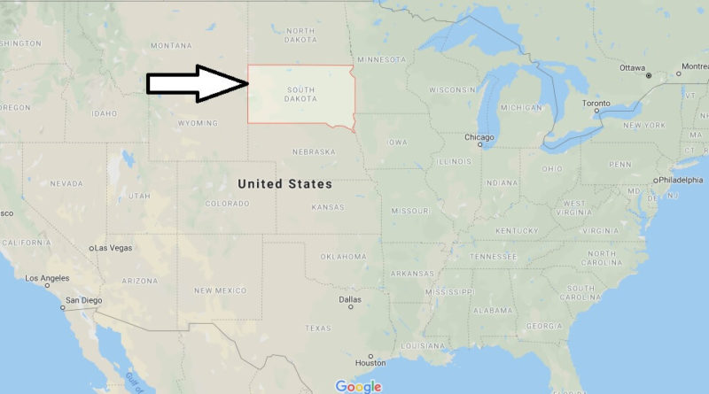
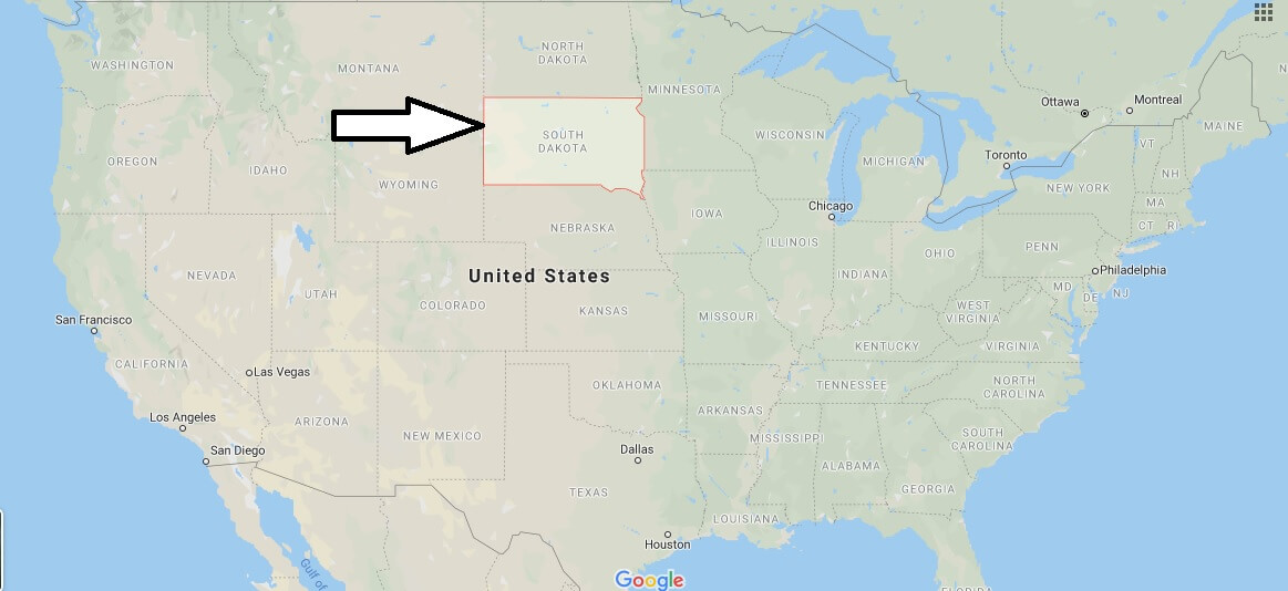
South Dakota Map and Map of South Dakota, South Dakota on Map
South Dakota Map
South Dakota (officially State of South Dakota) is one of the 50 states of the United States of America. The name of the state comes from the Amerindian tribes lakota and dakota (sioux). On November 2, 1889, South Dakota became the 39th u.s. state. Its capital is Pierre.
In 1743, François and Louis Joseph de La Vérendrye conducted the first European exploration of the region that covers today’s South Dakota. In 1803, the territory occupied by the dakotas became part of the United States following the purchase of Louisiana. The Lewis Clark expedition toured the region in 1804 and 1806.


What states border South Dakota?
How far is it from Rapid City SD to Deadwood SD?
How many counties are in South Dakota?
What city is Mount Rushmore in?
Is South Dakota a good state to live in?
What South Dakota is known for?
What is the coldest month in South Dakota?
Do the Rocky Mountains go through South Dakota?
How wealthy is South Dakota?