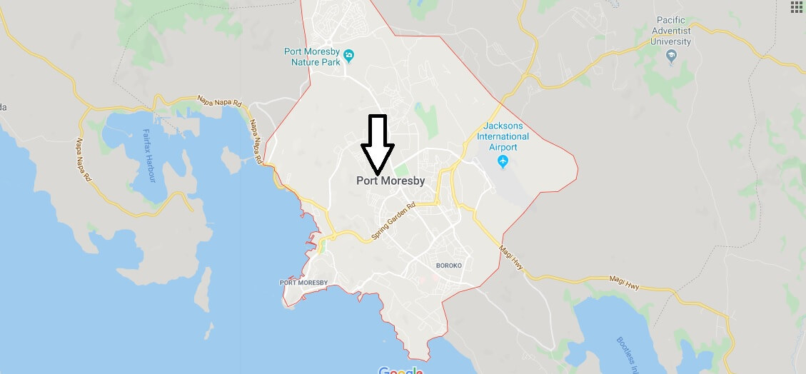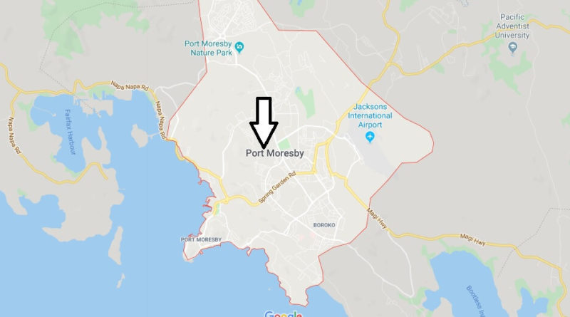
Port Moresby Map and Map of Port Moresby, Port Moresby on Map
Port Moresby Map
Port Moresby is the capital of Papua New Guinea, and is located in the Gulf of Papua, on the southeastern coast of the island of New Guinea, dominated by mountains and with a Bay overlooking the sea. It is a city where you can perceive the mixture of cultures and modern buildings of European colonizers.
The best views of Port Moresby can be seen through the Pay Hill Viewpoint, from which important buildings such as Pacific Place, ANG House and Travelodge can be seen, as well as the Central Bank of Papua New Guinea building. Among the most outstanding buildings are the Parliament, the National Museum and The Art Gallery and the Commonwealth United Church on Douglas Street. The first European settlement, Metoreai, today belongs to the Commonwealth United Church. Among its best beaches is Ela Beach, next to the Catholic Cathedral of Santa Maria.