
Panama Map and Map of Panama, Panama on Map
Panama Map
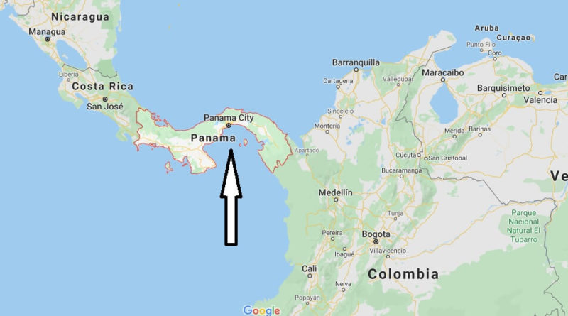
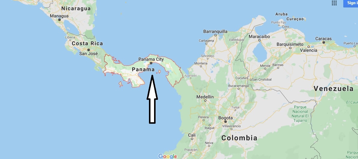
Republic of Panama. Located in the center of the Western Hemisphere, between the following coordinates: latitude 7º12’07″ and Latitude 9º38’46″ North and longitude 77º09’24″ and longitude 83º03’07″ West. It is bordered to the North by the Caribbean Sea, to the East by the Republic of Colombia, to the South by the Pacific Ocean and to the West by the Republic of Costa Rica.
Panama forms a link between Central and South America, constituting an isthmus 80 Km wide in its narrowest section.
The Panama Canal is operating in the country, a work that facilitates communication between the coasts of the Atlantic Ocean and the Pacific Ocean and that significantly influenced World Trade. It has the Colón Free Zone, the largest free zone on the continent and the second largest free zone in the world.


Where is Panama on the map of the world?
What are the countries that border Panama?
Is it safe to travel to Panama?
What is Panama known for?
How far is Panama from Florida?
Is Panama a third world country?
What is the climate of Central America?
What is Panama papers scandal?
How close is Panama to Mexico?