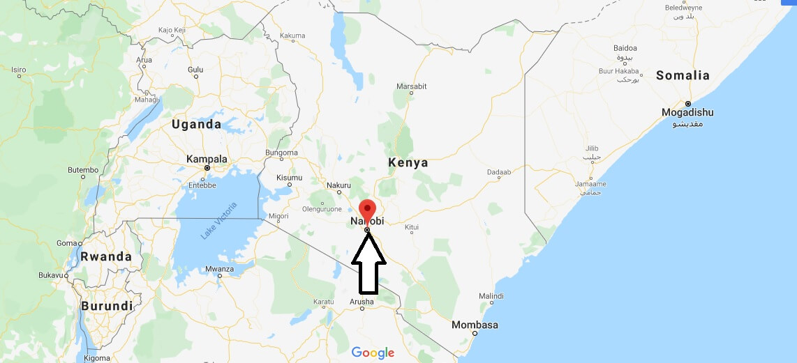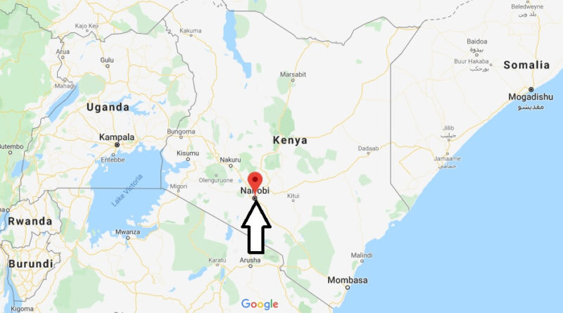
Nairobi Map and Map of Nairobi, Nairobi on Map
Nairobi Map
Nairobi. It is the largest city and capital of Kenya, and is also the capital of the province and District of the same name. The city was founded in 1899 and is located in the south of the country on the banks of the Nairobi River, specifically between the coordinates: 1°16’S 36°48’E ?at 1661 meters above sea level, covering an area of 684 km2.
The city is the largest in Eastern Africa and the fourth largest in the whole of Africa and despite being the city’s youngest in the region is one of the most influential and important of all the continent and headquarters of numerous companies and organizations.
The name Nairobi comes from a nearby river related to which the phrase Masai Enkare Nyorobi, meaning “the place of fresh water”, emerged. However, it is popularly known as the “Green City in The Sun”.