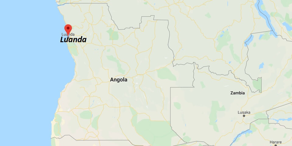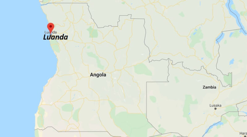
Luanda Map and Map of Luanda, Luanda on Map
Luanda Map
Luanda. The main city and capital of Angola; it is also the main port of the country. It was founded by the Portuguese explorer Paulo Dias de Novais on January 25, 1575, with the name of Saint Paul of Luanda, because it is located in a magnificent natural port.
In 1618 the fortress of São Pedro da Barra was built, and in 1634 the fortress of São Miguel was built. Due to the large population growth experienced by the city, the price of land has skyrocketed and informal settlements have extended the city to join it with nearby towns such as Viana. In Luanda are located food processing plants, the pulp and paper industry, wood, textile, metal, Cement and other building materials, plastics, cigarettes and shoes.