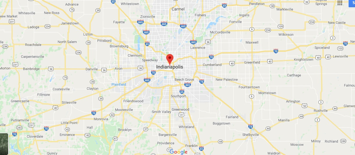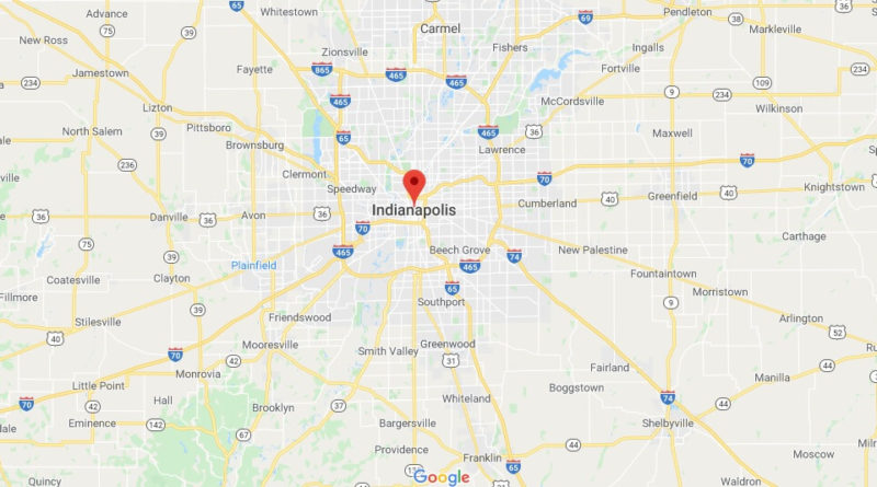
Indianapolis Map and Map of Indianapolis, Indianapolis on Map
Indianapolis Map
Indianapolis. It is the Capital (Political) of Indiana, and Marion County, United States. According to the 2010 census, it had a population of 829,718, making it the most populous city in Indiana. Founded 1821. The 1987 Pan American Indianapolis games were held there.
Indianapolis was founded in 1821 according to the Indiana General Assembly, before its official foundation it was a swampy area called Fall Creek Settlement by some fur traders.
The first european settler-american, is believed to be George Pogue, who was established on march 2, 1819, with a double cabin trunk along the White River (now the state Park White River in downtown Indianapolis).
Like all cities it has its own flag and coat of arms that reflect the history of the city and its relationship with the environment. The site of the new capital of the state of Indiana was chosen in Corydon in 1825 and is placed in the exact geographic center for the construction of the capital; the Miami Lenape Amerindian tribes living on the site moved from 1820 to 1840.