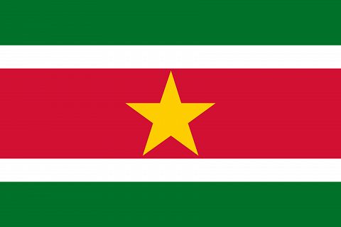
Flag of Suriname
Surinam, or in Dutch Suriname, formerly Dutch Guyana, is an independent state since 1975, stretching between Gorentyne and Maroni, the Atlantic and the Tumuc-Humac region. It covers an area of 163 300 km2 and has a population of about 440 000.
The coasts are low, flat and island-free like that of Guyana. It is the same border of flooded mangroves, with, in the background, swampy spaces, part forest, part Savannah, everywhere where clearing has not yet taken place. Behind this narrow edge, a few savannas, and, further, the virgin forest.
All the waters of the land are descended from the Tumuc-Humac or their foothills. The small ranges in the interior are hardly, except in the basin of the Maroni, only modest hills. The highest point, the Juliana Top however reaches the 1230 m.


