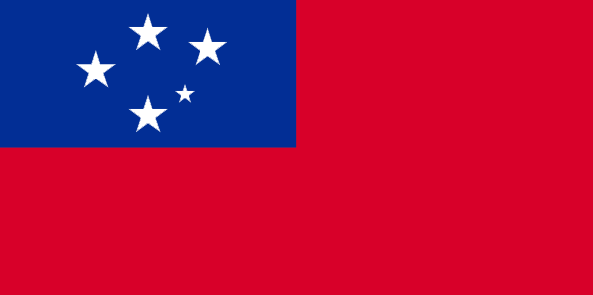
Flag of Samoa
The Samoa Islands (The Navigators ‘archipelago, old maps) lie between 175 ° 5′ and 170° 29′ west longitude and 13 ° 31′ and 14° 30’ south latitude, 4500 kilometres from Sydney and 100 kilometres east-northeast of the Fiji Islands.
The archipelago consists of three large islands to the West and three smaller islands to the East, forming a chain extending 370 kilometres from west-northwest to east-southeast. The land area is 2787 km2, with a population of about 36,000. From a political point of view, it is divided into two : Samoa proper (consisting mainly of the islands of Savaii [Savai’i] and Upolu), which is a sovereign state (parliamentary monarchy), and which will be studied more specifically on this page, and American Samoa (Tutuila and five other small islands : Aunu’u, Ofu, Olosega, Ta’u and Rose Island), which has been owned by the United States since the end of the 19th century.


