
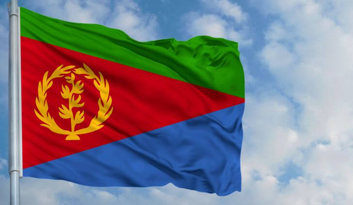
Flag of Eritrea
Eritrea is a state in the Horn of Africa, with an area of 117,600 km2 and a population of 6 million in 2012. Bordering the Red Sea, the country borders Sudan, Ethiopia and Djibouti.
The country is located on the northeastern edge of Ethiopia’s Highlands : the last foothills of the Ethiopian plateau fall in parallel chains on the Red Sea, and enclose some long and narrow plains that flourish at the mouth of the Afar. The coast is rocky, cut out (massaouah Bay and island), the rivers (Baraka) are only wadis. The climate is excessive. Most of Eritrea is included in the Kolla zone (Massaouah +25°C and + 34°C).
