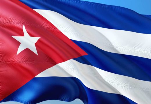
Flag of Cuba
Cuba is the largest island in the Greater Antilles. It is separated from Florida and the Lucayes, in the North by the Gulf of Mexico and the Bahama canal; in the south of Jamaica and Haiti by the Caribbean Sea and the wind canal; in the west of Mexico and Guatemala by the Yucatan canal and the Gulf of Honduras.
It is an island of longitudinal shape, 1150 kilometers from East to West and about 170 km in its greatest width; 11, 3 million inhabitants; capital : Havana.
Cuba is formed by a mountain range originating at Cape Maysi and divided into several branches. The main peaks are: the peak of Matanzas (394 m), the peak of Guayabon (780 m), the Lomas of San-Juan (666 m), the Sierra de Tarquino (2800 m).
The coasts are generally flat and difficult to reach; however, there are several good ports, including Havana, one of the best in the world, to the North, as well as those to the south of Santiago de Cuba and Guantanamo, sheltered by excellent bays. The main river is the Canqui, in the southern part of the island; the others, very numerous are of little extent (Rio-Cauto, Rio-de-Guines, the Ay or Rio-dos-Negros, etc.).


