
Estonia Map and Map of Estonia, Estonia on Map
Estonia Map
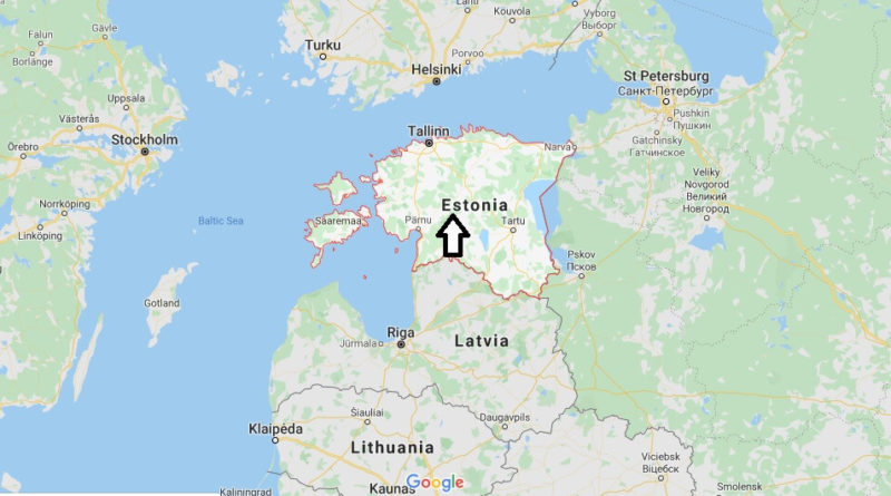
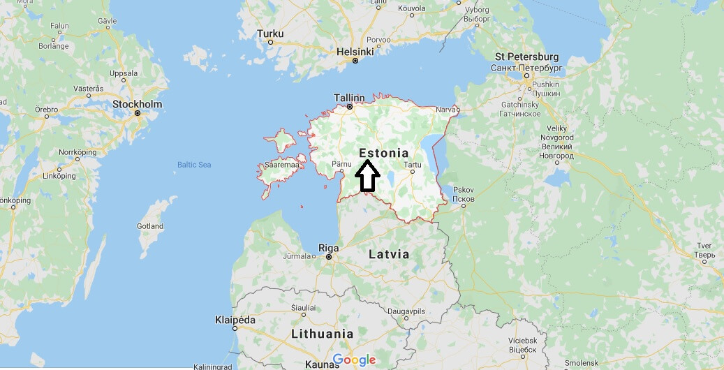
Estonia, officially Republic of Estonia. State in the Baltic region of northern Europe. It is bordered to the north by the Gulf of Finland, to the West by the Baltic Sea, to the South by Latvia (343 km), and to the East by Lake Peipsi and the Russian Federation (338.6 km).
On the other side of the Baltic Sea it is found in western Sweden and Finland in the North. The territory of Estonia covers 45,227 km2 (17,462 square miles) and is influenced by a temperate climate. Estonians are a people of Finnish origin, and the only official language, Estonian, is closely related to Finnish.
With a population of 1.34 million, Estonia is one of the least populated members of the European Union, the euro zone and NATO. Estonia has the highest GDP per person in any country that used to be part of the Soviet Union. Estonia is classified as a high-income economy by the World Bank and a high-income OECD member. The United Nations classifies Estonia as a developed country with a very high Human Development Index.


Is Estonia poor or rich country?
What countries surround Estonia?
Is Estonia expensive?
Do they speak English in Estonia?
Is Estonia a Schengen country?
Is Estonia part of EU?
How can I get Estonia citizenship?
What is the main religion in Estonia?
I love looking at maps! And, I’m on a lookout for these lesser-known destinations. So glad I found this blog!
Thanks Renuka. Your welcome.