
Ecuador Map and Map of Ecuador, Ecuador on Map
Ecuador Map
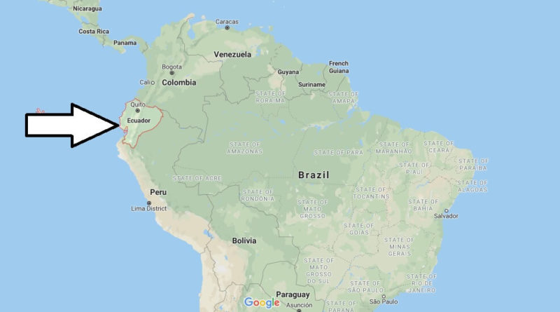
Ecuador. Officially known as the Republic of Ecuador, it is a country located in northwestern South America. It is bordered by Colombia to the north, Peru to the south and Peru to the East, and the Pacific Ocean to the West.
Its capital is San Francisco de Quito, the seat of the main state bodies and the National Government, and its largest city is Santiago de Guayaquil, the main seaport and important economic center. In Ecuador there are 70 volcanoes, 14 active, 14 inactive and 42 passive volcanoes, the highest being the Chimborazo volcano, with 6,310 meters above sea level. It is the world’s leading banana exporter and one of the leading exporters of flowers, shrimp and cocoa.


What countries does Ecuador border?
Is Ecuador safe to travel to?
What is Ecuador famous for?
What is Ecuador famous food?
Is Ecuador a poor country?
Is Ecuador 3rd world country?
Is Ecuador the center of Earth?
What is the climate of Ecuador?