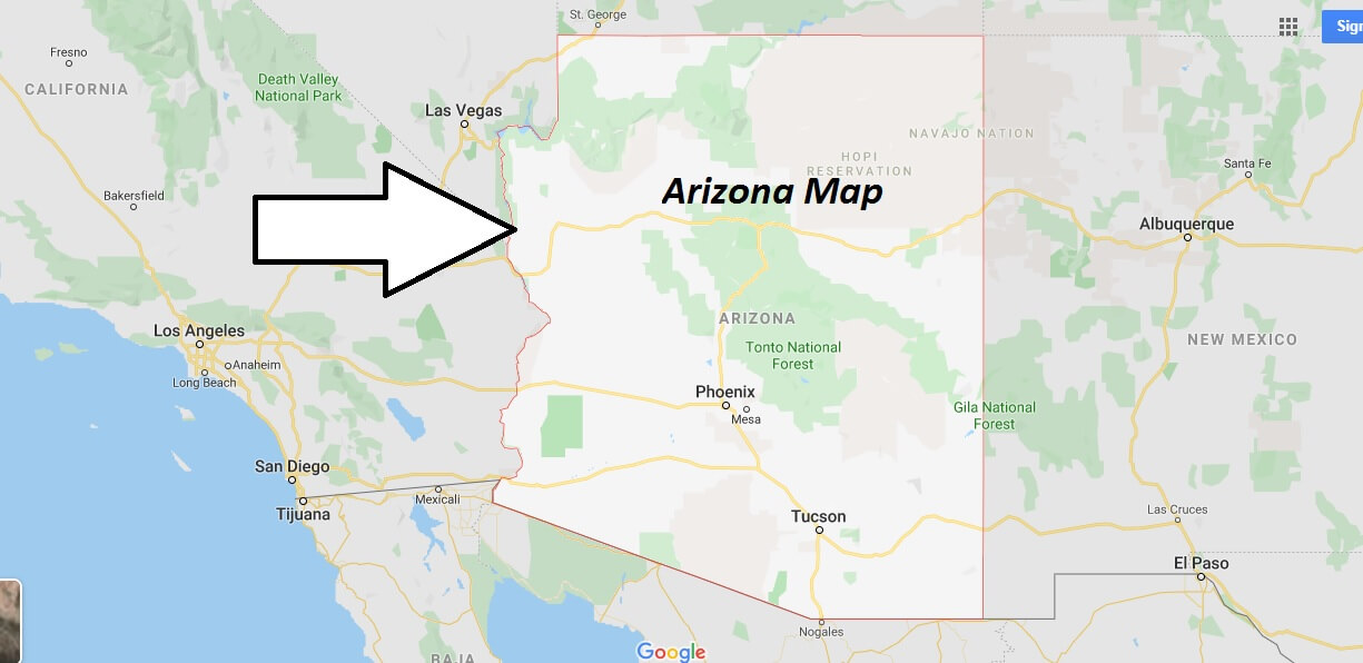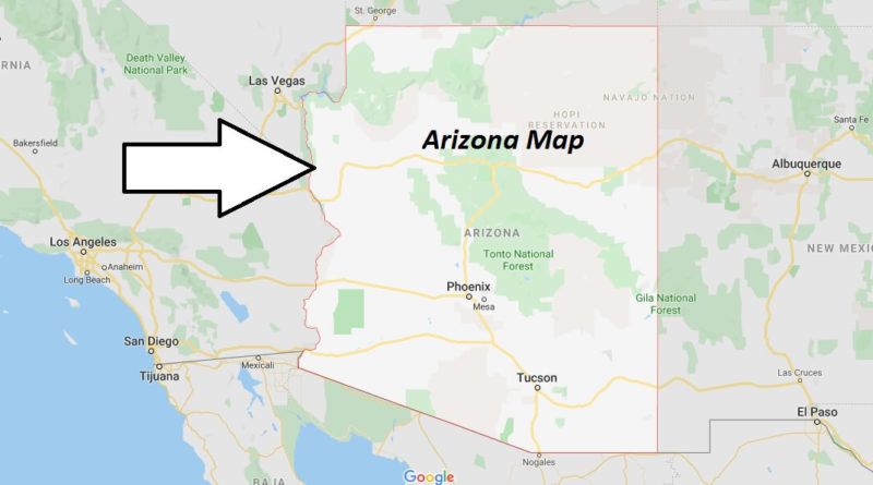
Arizona Map and Map of Arizona, Arizona on Map
Arizona Map
Arizona. It is one of the 50 states of The United States of America, located in the southwest of the country. It is well known for its desert landscape, cacti and the cosmopolitan city of Phoenix. The nickname of Arizona is the state of the Grand Canyon (The Grand Canyon State), because the north of the state is home to one of the natural attractions most well-known of the united States and the world, the Grand Canyon.
At First, Arizona was colonized by Spain, moving to Mexican control in 1821, when Mexico became independent from Spain. In 1848, with the end of U.S. intervention in Mexico, most of Arizona (north of the Gila River) passed to the United States.
President Santa Anna of Mexico sold the southern part of the State at the sale of the Mesilla in 1853. On February 14, 1912, Arizona became the last U.S. territory within the 48 contiguous states (that is, those of the continent, except Alaska) to acquire state status.