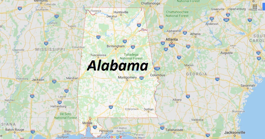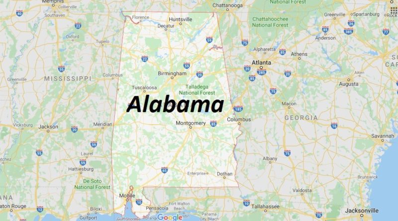
Alabama Map and Map of Alabama, Alabama on Map
Alabama Map
Alabama. The state of The United States of America is located in the southern part of the nation. Its capital is the city of Montgomery.
It is bordered by the state of Tennessee to the north, the state of Georgia to the East, the Gulf of Mexico and Florida to the south, and the state of Mississippi to the West. It is located in a geographical position between coordinates 30 13 ‘North at 35 N latitude and 84 51’ West at 88 28 ‘ longitude. The state was founded on December 14, 1819. Ranked number 30 in terms of size and the position number 23 in terms of population, of the 50 states of the country.